October 11 2018 Marie and I went on an adventure to P. J. Hoffmaster State Park in Muskegon County.
We walked at the northern section, past the campground, along Little Black Creek. The creek flows into Lake Michigan at this point. Usually on the beach, the creek has some twists and turns before entering the big lake, on this day it headed straight into the lake.
Looking to the north with Little Black Creek meeting Lake MichiganLooking to the south
Looking west at Lake Michigan, it was very windy!
We found the old wood bridge replaced by metal.
We tried to follow the trail back along the creek, but it was flooded in places!
That is the trail in the center of the picture with the creek on the far right! We were able to go part of the way but then the water was just too deep for our boots.
The same day we stopped at Black Lake Park also in Muskegon County.
This is Little Black Lake, the same water that flows through Hoffmaster and into Lake Michigan.
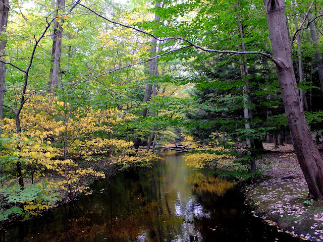
Some fall color, but things were still mostly green.
The next day was off to Crockery Creek Natural Area with Mike. Some color here too! October 12
Most of our stay on the island was very windy, cold, with rain and snow. We did manage to do a long hike along the Tranquil Bluff Trail, and some even longer bike rides.
The island can be reached by private boat, by ferry, by small aircraft, and in the winter, by snowmobile over an ice bridge. The airport has a 3,500-foot paved runway, and daily charter air service from the mainland is available. In the summer tourist season, ferry boat service is available to shuttle visitors to the island from St. Ignace and Mackinaw City.
Motorized vehicles have been prohibited on the island since 1898, with the exception of snowmobiles during winter, emergency vehicles, and service vehicles. Travel on the island is either by foot, bicycle, or horse powered carriage. Roller skates and roller blades are also allowed, except in the downtown area. Bicycles, roller skates/roller blades, carriages, and saddle horses are available for rent. An 8-mile road follows the perimeter of the island, and numerous roads, trails and paths cover the interior. M-185, the United States only state highway without motorized vehicles, makes a circular loop around the island, closely hugging the shoreline. Mackinac Island is about 8 miles in circumference and 3.8 square miles in total area.


We took one last ride around the island before hopping on the ferry to head home. The clouds moved in and a strong wind kicked up.
This is the ferry as it came to the island from Mackinaw City (about 8 miles). The Mackinac Bridge is approximately 5 miles behind the ferry. On this day, at 12:30 in the afternoon, the dark snow clouds obliterated the view of the bridge. It was a wild ride on the ferry that afternoon, however a rainbow appeared while we crossed Lake Huron! Even with the not so perfect weather, we very much enjoyed our trip.
In mid October, the fall colors were not yet at peak. Still we did see some color and many plants still flowering. I would say a pretty nice Autumn season. Thanks for stopping by.


