Saturday, March 2, 2013

2013 Texas, New Mexico Adventure (The first two days)

We had a wonderful trip recently, visiting with our oldest son and his family, with many adventures in Texas and New Mexico!
First I-20 Nature Preserve  Midland, Texas. http://www.i20wildlifepreserve.org/  .

We saw a roadrunner right here.  We also saw a Hawk, two Dessert Cottontail, dragonflies, butterflies, a Mourning Cloak, and woodpecker. 
 
Herb Robert blooming at I-20 Nature Preserve in Midland, Texas.  February 13, 2013.
 
After lunch we went to the CAF AIRPOWER MUSEUM   http://www.airpowermuseum.org/  also in
Midland Texas.  There is so much to see here, lots of history.


 We ended this day with dinner at KD's Bar-B-Q always a tasty and filling meal.  (http://kdsbarbq.com/)
 
 
The next day we took off west ~ 180 miles to Carlsbad, New Mexico.  We visited the Carlsbad Caverns National Park.
 We took the natural entrance down into the cave.

 See the hole at the bottom?  You walk on the paved, serpentine, walkway into the cave.
 A pretty awesome place.  After being in the caves for two hours we came out into the sunshine again.  We sat on the back of Andrew's truck and had lunch.
 
Our "picnic table" what beautiful vistas from this place.
 
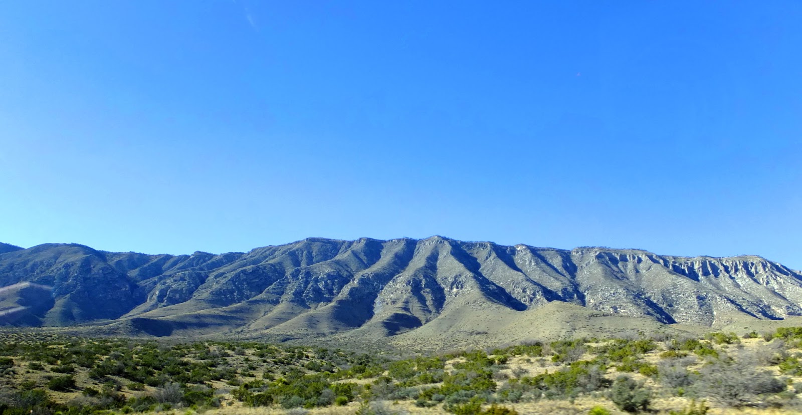
After lunch we popped back into Texas to do a hike at the Guadalupe Mountains National Park.
Starting at the mouth of Pine Spring Canyon, we hiked Devil's Hall trail, this trail follows the dry wash through the canyon to a narrow section where the ravine cuts through thin-layered limestone and is bordered by sheer cliffs 100 feet high.  About 4.2 mile round trip.


Hiking in a canyon is different than hiking through the woods, of course, I would never give up the woods, but for some reason I do enjoy wandering through these rocks.
 
What a day, such fun but in two days I have had a whole week's worth of adventures.  Now we have a 170 mile trip to Cloudcroft, New Mexico. 
 
We stop off at the No Whiner Diner in Carlsbad.  Good food.
It was late when we arrived at The Lodge Resort and Spa situated at 9,000 feet on the Sacramento Mountains.  This place could be an adventure all on its own.
 
 
Here are some sunset pictures from up in the tower of the Lodge.


I was going to try and fit the whole week of this trip in one post but as I work on it I research the places we went.  So I get a little side tracked.  I'll try to finish this soon. 
 If you ever want to have fun out west just call up my son, he is a fun tour guide, and since he is a geologist, he has interesting information about the mountains and pretty much everything you see. Thanks Andy.


Wednesday, February 20, 2013

Truth Cam- Big Buck

Pictures from the Truth Cam, moon phase, the temperature, date, and time are on the photos.  There is a pumpkin under the snow.
It was great to see this buck.


                                   Buck-Eye


I'm glad he didn't ram the camera.

      Two hours later the doe stopped by.


We went out west to Texas and New Mexico for a week.  When we got back one of the first things I did was check the Truth Cam.  There were over 500 new pictures.  A fox came around.  A buck, I'm not sure if this is the same buck that was here February 1st.  


The day after we got home, we had a snowstorm with several inches of snow.
So I'm up to date with the Truth Cam, it will be fun to watch more animals come around as the weather warms up.


Sunday, February 3, 2013

Port Sheldon Natural Area in Ottawa County

January 14, 2013
Port Sheldon Natural Area is another Ottawa County property that we have thoroughly explored on the east side of 160th Avenue.  This trip we are heading west.

Port Sheldon Natural Area has 440 acres of gently rolling hills, woods, wildlife ponds, and Ten Hagen Creek.  You will find it in Port Sheldon Township, Ottawa County, Michigan along 160th Avenue between Port Sheldon Street and Van Buren Street.  There are two access points with parking and maps.


This is the new map at the kiosk, I marked a big red X where we went this trip.  Don't worry I only marked my photo not the county map.  It was a cold 22 degrees the day we went for this hike.

So we followed the north side of the loop trail.  The loop goes around the outside of this large open area.

The trail doesn't go to Ten Hagen Creek, so we cut off to look at the creek. 
 Ten Hagen Creek at Port Sheldon Natural Area
I had hand drawn a map of the area using Bing maps, so I knew the county property continued on the other side of Ten Hagen Creek. We found a log and crossed easily.  Well, one of us crossed easily.  :)
 This is our bridge, and the "grass" (or the woods in this case), was greener on the other side.

There are some hilly areas here.  Also lots of trails made by quads or previous owners.  We wandered until we came to boundary markers, then went back to the creek.   We just happen to come to the same fallen tree that we had crossed earlier.  The creek isn't huge but too deep for our boots.


There is a smaller creek to the south of the loop trail, we checked that out too.
  We followed the trail back towards the car, and the sun even came out for a while.

I know the pictures are a bit dull, and even telling where we went doesn't sound very exciting but it was fun.  We went somewhere that we had never been before, we got to cross a creek and "find" some beautiful woods on the other side. 


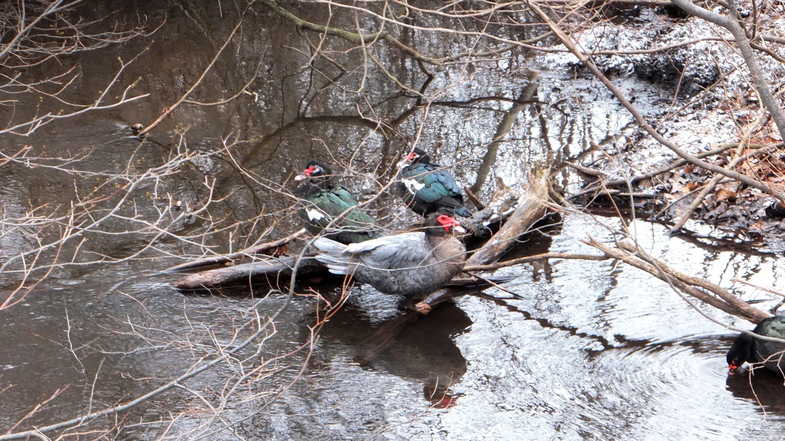
We left the park area and drove to where Ten Hagen Creek passes under Butternut Drive, this is west of where we had just been walking.  We came to Ten Hagen Creek and noticed some  Muscovy Ducks (Cairina moschata). This is a
large duck native to Mexico, Central and South America.
I think this group might be domesticated birds, but I don't
know that for sure. 

That's all for this trip.  Well, we stopped briefly at the Port Sheldon Township hall and park.  And we went to Habor Island in Grand Haven to see the Aurora, once the largest wooden steamer on the Great Lakes,  the shipwreck is revealed by low water levels.  Grand Haven Tribune link http://www.grandhaventribune.com/article/261651