Showing posts with label Michigan bike trails. Show all posts

Friday, May 21, 2021

Kayaking, biking, hiking, and wildflowers in Ottawa County Michigan


Kayaking on Stearns Bayou May 14 2021


We often walk at Stearns Creek Park, an Ottawa County park in Robinson Township.   In the picture below you can see one of the beaver houses along this area.  The land behind the beaver house is part of Stearns Creek Park.
We put the kayaks in at the Odawa/Battle boat launch, see start on the map.  We paddled until we were starting to get stuck on posts/trees, something just under the water.  It was time to head back anyway.  It was a beautiful calm evening.  I’m glad we went.


May 17,  I was lucky to be able to ride bikes with my sister, Sugar.  I started from North Cedar Drive at the M 231 trailhead.  I pedaled north over the bridge and Grand River, Spoonville Trail, then met her at the new trailhead off 120th Ave just south of Leonard Road.


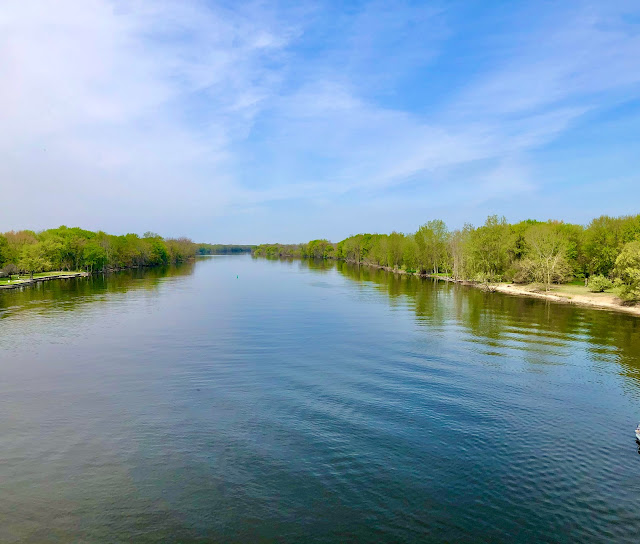
Grand River from M 231 bridge.

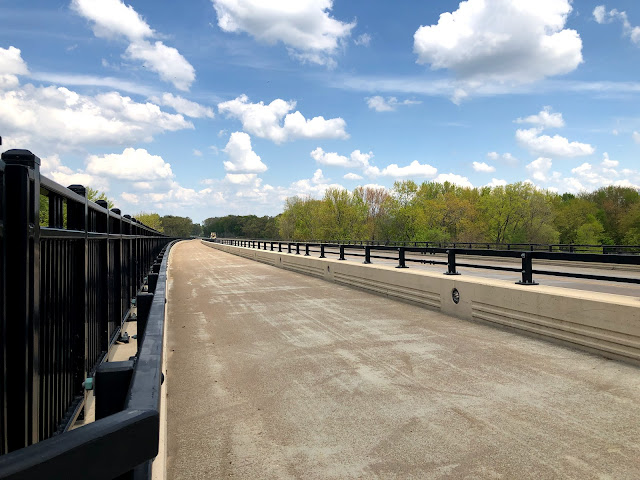
      M 231 bike path on bridge also called Spoonville Trail.

     New bike trail going around Terra Verde Golf Course


We rode on this new section and it was beautiful.  We counted 5 bridges along here.
We continued over I 96 into Nunica.
I 96 at Nunica Exit

For now the paved bike trail ends near the Nunica post office, it will continue east.  And from Nunica the paved trail goes west into Spring Lake.   Sugar and I have biked that part too, it is called North Bank Trail.

That same evening as the bike ride, Mike and I walked at Crockery Creek Natural Area. We kayaked this Creek a few weeks ago.


Flowering Dogwood 
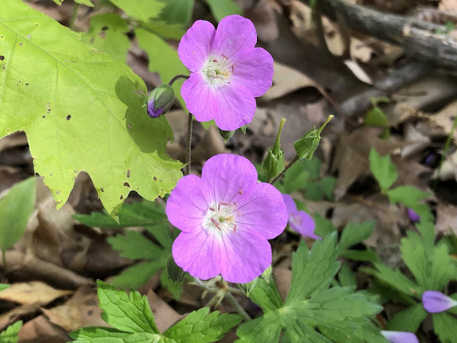
The Wild Geranium were going wild!

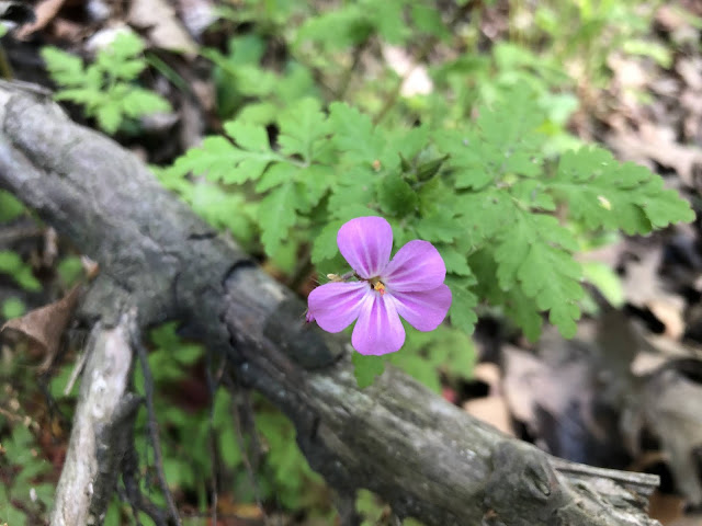
A beautiful Herb Robert.

Crockery Creek Natural Area - Ottawa County Michigan 

I made this post almost completely on my iPad and all the photos are from my phone.  Ugh technology makes my head spin!  But I did it.
Thanks for stopping by. 


Thursday, October 24, 2013

Mackinac Island - Michigan

Mackinac Island is located in Michigan, in Lake Huron, at the eastern end of the Straits of Mackinac, between Michigan's Upper and Lower Peninsulas. 

Mackinac Island is about 8 miles in circumference.   An 8-mile road follows the island's perimeter, and numerous roads, trails and paths cover the interior.
More than 80 percent of the island is preserved as Mackinac Island State Park.
A unique local ordinance prohibits the use of any motor vehicles on the island. The most common means of travel are foot, bicycle, or horses. Certain exceptions include emergency vehicles, snowmobiles in winter, and golf carts for on-course use only.  Most tourists come to the island by ferryboat.

Mackinac Island is also famous for the many fudge shops on the island. The island has a very large industry making fudge in a traditional manner, creating them on cold marble slabs.
Mackinac Island is a fun place to visit every few years, especially in the off season.

Mike happened to see a special coupon for the Harbour View Inn back in July, so we picked out two nights in October to spend on the island. 
We started near Grand Haven, Michigan and spent a night at the cabin in Manistee County.  The clouds were great with lots of blue sky.  There was beautiful scenery along the 265 mile drive.
We ended up having four of the best days, weatherwise, that you can get in October in Michigan. 
Barn along the way...
We chose Star Line Ferry, with their Hydro-Jets that produce a distinctive 35' roostertail spray, to cross 8 miles from Mackinaw City to Mackinac Island. 
We did bring our bikes, it's $8 to bring them on the ferry and about $6 to$8 PER Hour to rent bikes.  If you are able to bring your own bikes, you can save a good bit of money and you have the convenience of transportation whenever you go somewhere.
 Round Island lighthouse

This is where we stayed, Harbour View Inn.  We had a nice room, very clean, and a yummy breakfast was included each morning. 
Harbour View Inn
We rode our bikes around the island twice, stopping at all the interesting places along the way.  We walked the British Landing Nature Trail, the Lakeshore Nature Trial, we pedaled to the interior of the island to find Eagle Point cave, we saw Arch Rock, Fort Holmes, and visited the U.S. Post Cemetery.
Looking up at Arch Rock

 Fort Mackinac on Mackinac Island

Our nineteen year old bikes, refurbished by our son. 

 U.S. Post Cemetery.


The best part of our bike ride was cutting across the island on the British Landing road, it goes down hill, and it was late in the evening so no people were around.  We flew down the road topping off at 23.6 mph, that was fun.

Both nights, there were beautiful sunsets.
 Sunset from Mackinac Island looking towards the Mackinac Bridge.  The colors in the sky were so vivid and beautiful it was difficult to turn away and ride back to the inn.  So I have many pictures of sunsets.


One night the sky looked like it had been highlighted with a pink marker. 
We took a late afternoon ferry to Mackinaw City where our car was parked and drove all the way home.  This was a great trip.

Sunday, October 16, 2011

North Bank Trail

2011 10 13 A new 3.3 mile phase 1 (Fruitport Road to 130th Avenue) section of  the North Bank Trail in Spring Lake Township was completed recently.  My sister, Sugar, managed to pry me off the couch with an invitation to ride our bikes on the new trail.  It was gray and cloudy, but a very comfortable temperature for bike riding. 


We used the new parking area on 144th Avenue, north of M-104, hopped on our bikes and pedaled east.

Right off we were greeted by bright red Winterberry with blueberry bushes in the background.
As we got close to 130th Ave.  we found workers still putting the finishing touches on a bridge.

Of course next year when the vegatation grows in it will look better.
We stopped off at this scenic overlook near the north end of Lloyds Bayou.


There was a bit of wildlife, yup I'm talking about the fly.

We pedaled west to Central Park in Spring Lake (Michigan) then east back to the cars on 144th Avenue.  What a fun outing, we have to do this more often!
Plans are for the North Bank Trail to extend 18 miles along the former Grand Trunk Railroad, connecting with the Musketawa Trail east of Coopersville.  This section now connects with Lakeside Trail that extends through the village of Spring Lake and joins up 26 miles of existing bike paths in Spring Lake Township.
I'm so glad my sister got me off the couch, sometimes you need a little nudge.